

Use these FAQs to find the most appropriate interactive GIS and mapping application for different needs and tasks.
 The Historical Imagery Viewer contains years of imagery for which Fairfax County has digital holdings, going back as far as 1937 and up to the most current imagery, and many additional years. Parcels boundaries, road centerlines and tax map grid are also viewable as overlay layers in this application.
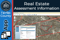 The Fairfax County Real Estate Assessment Information Site application can be used for detailed information about real property (parcel) in Fairfax County. This information includes: property ownership, assessment values, sales history, and physical characteristics.
 The Fairfax County Validator is a search engine for verifying addresses, parcel ID numbers (PINs), and street names that fall within Fairfax County.
 My Neighborhood is an Internet mapping and information reporting application. Search any address in Fairfax County and find information about voting location, elected officials, schools, public safety and other nearest facilities in that area.

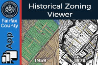 The Historical Zoning Viewer was created to facilitate research into the zoning history of specific parcels. The nine historical zoning years in the map are those in which major changes occurred and were captured in map form. The corresponding Historical Zoning Ordinances are listed with each map layer.
The Planning and Zoning Viewer is an interactive map that provides information about current zoning applications and associated zoning layers for areas within Fairfax County. Map layers include overlay districts, planning districts, planning sectors, planning areas, Supervisor districts, parcels, common areas, and zoning districts.
The Fairfax County Zoning District Analyzer Map is an interactive map of existing zoning districts within Fairfax County. Each zoning district may be independently toggled on/off.
The Comprehensive Plan Map indicates the baseline land use recommendation.
The Comprehensive Plan Amendments application shows comprehensive plan amendments in process.
For more information about zoning regulations and these applications, please visit the Department of Planning and Development website.
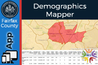
The Demographic Interactive Mapper summarizes the most current demographic data by community, ZIP code, and census block group level across Fairfax County. These data include total population estimates, 5-year population forecasts, commercial gross floor area, and number of housing units by type, age, and market value.
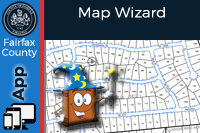 The Fairfax County Map Wizard is an interactive mapping application for creating and printing maps in the style of the official property, zoning, and other map books, but with custom extents and scales.
Jade is a comprehensive interactive mapping application with nearly 200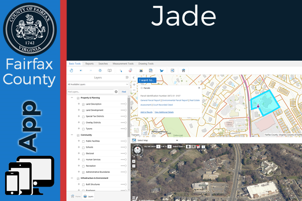 layers as well as mapping and reporting capabilities.