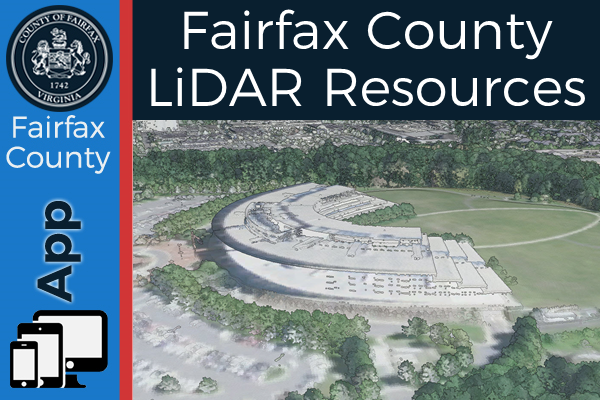
The GIS and Mapping Services Division has posted our latest Light Detection and Ranging (LiDAR) data, captured in December 2018, and developed a site to consolidate our elevation resources. The new site provides access to 2D and 3D applications for viewing the data as well as some examples of how it is used in Fairfax County. For those who would like to use the data, links to the server layers are provided as well as metadata reports for each collection. Information for purchasing our legacy data can also be found here.
Click the image to see the new site.