

Fairfax County Jade

- One map application, available on any device, with over 170 layers to view, combine, and analyze.
- Detailed property reports, especially useful for land development.
- Save, share, and print your map creations.
- Current and historical aerial imagery, viewable from multiple angles.
Other Popular Applications
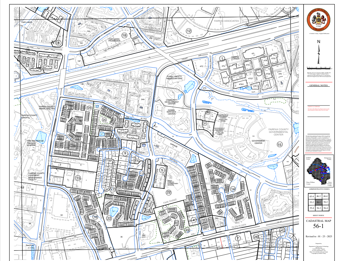
The Digital Map Viewer is an online mapping application that provides users access to official Fairfax County map books, such as the Property and Zoning maps. The maps are in PDF format and are free to view, download, and print.
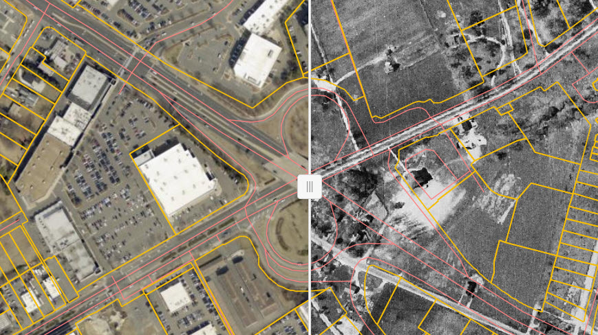 The Historical Imagery Viewer is an online mapping application that provides access to Fairfax County’s aerial imagery collection dating back to 1937. Tools and widgets are provided in the app to navigate, swipe, measure, and export PDFs in letter (8.5 inches by 11 inches) and tabloid (11 inches by 17 inches) sizes.
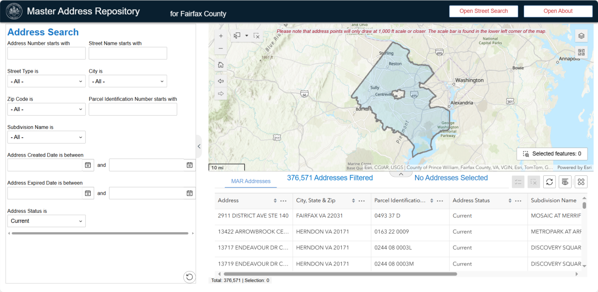 The Fairfax Master Address Repository (MAR) is the authoritative source for site addresses in Fairfax County. The Fairfax Master Address Repository Application is a web application which provides access to addresses and street names in the MAR. Web services and locators are also available for applications to retrieve or validate address information against the MAR.
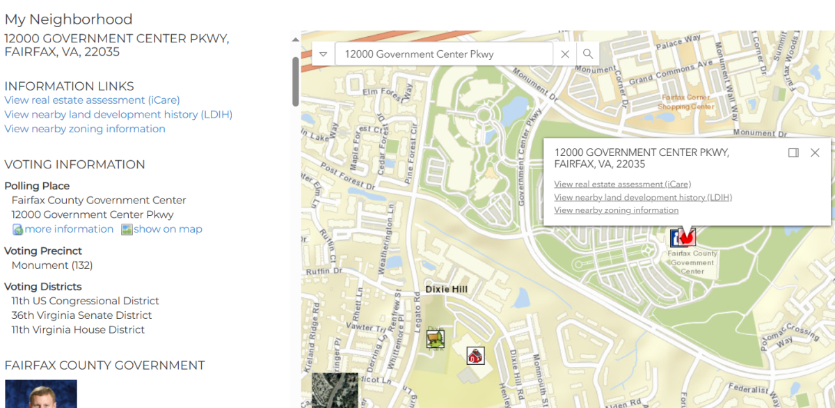 My Neighborhood is an interactive mapping application that provides local information such as voting place, elected officials, assigned public schools, and other nearby public facilities, including police and fire stations. The application also includes links to other public web resources providing information about real estate tax assessments, land development, and zoning.
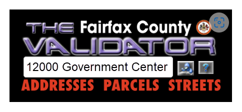 The Validator is a simple but powerful application to verify the accuracy of addresses, street names, and parcel IDs for all real property in Fairfax County. While other mapping applications may be more flexible in returning results, The Validator connects directly to the county’s GIS database of actual, verified address, parcels and street names, so the results can be trusted to exist in real life.
Department News


