
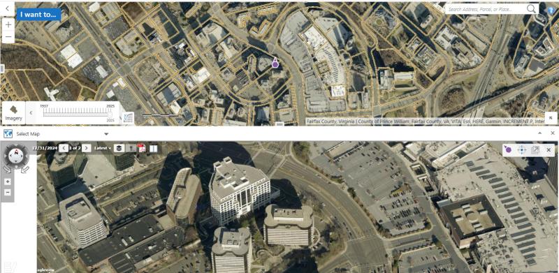
2025 aerial photography is now available across our GIS platform. The Historical Imagery Viewer contains the updated vertical aerial photography while Jade has both vertical and oblique photos.

2025 aerial photography is now available across our GIS platform. The Historical Imagery Viewer contains the updated vertical aerial photography while Jade has both vertical and oblique photos.