


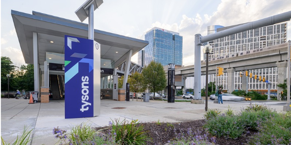
The Tysons Tracker, an interactive platform for monitoring the growth and development of Tysons, is now updated with information through June 2026. The Tysons Tracker is a tool for monitoring progress in implementing the Comprehensive Plan vision for Tysons across key areas, including land development, transportation, environmental stewardship, public facilities and parks. From bicyclist and pedestrian focused data to an updated housing dashboard and more, you can explore the latest land use and development trends in Tysons.
Highlights of the past year include:
- Delivery of three new, permanent park spaces: one on Capital One’s Block D, one at Capital One East (formerly Scotts Run Station North) and one at The Indigo at McLean Station.
- Ongoing progress in implementing the Grid of Streets, designed to improve the area's connectivity.
- A thorough review of Silver Line Metro Rail ridership and other transportation modes to enhance mobility.
- Approval of two major zoning projects, The Piazza and 1950 Old Gallows Road.
- Delivery of one new residential building, The Indigo at McLean Station, a fully affordable housing building.
Background
The Tysons Tracker is an interactive platform used to monitor implementation of the vision established in the Comprehensive Plan for Tysons, adopted by the Board of Supervisors in 2010. The plan outlines a vision for Tysons as a sustainable urban center with walkable neighborhoods, serving an estimated 100,000 residents and 200,000 employees by 2050. The Tysons Tracker showcases the area's transformation, emphasizing key indicators such as development levels, land use mix, transportation improvements, park and athletic field commitments, and commitments to public facilities.
 SIGN UP FOR DAILY EMAIL HEADLINES