

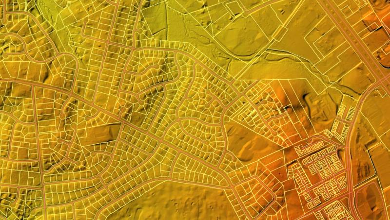
 Light Detection and Ranging (LiDAR) data collected in a partnership with the U.S. Geological Survey has been updated with our most recent 2022 capture. The data can be viewed as a 2D surface in the LiDAR Elevation Viewer. GIS users who wish to download the raster data, rather than use our image services, should do so from the USGS National Map Viewer. More information can be found on our LiDAR Resources page.