


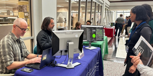
Geographic Information Systems (GIS) help us make smarter, more informed decisions that benefit both residents and businesses. This technology reveals not just where things happen, but how they connect and why they matter through detailed mapping and analysis.
We’re celebrating our efforts on GIS Day on Wednesday, Nov. 18, from 12:30 to 3:30 p.m. at the Fairfax County Government Center. We've been a proud participant in GIS Day since the event's launch.
County agencies will be on-site at the Government Center to demonstrate and discuss the spatial tools and products that enhance their work, improve business processes, and engage and inform the public.
Some GIS Day highlights for this year include:
Find Your Ideal Library
Whether you’re racing a deadline for a group project and need a quiet study room or your teen is begging to use 3D printers, our libraries have it all. Find the best library branch for you by using the Library Locator.
You can filter by amenity and nearness and view branch details.
Development Tracker
Land Development Services launched a new tool called the Development Tracker. It’s an interactive digital map designed to help you see exactly what is being built nearby.
Curious about that new construction site down the street? Wondering what business might be moving into a vacant storefront? With the Development Tracker, you can find out.
Emergency Resource Locators
GIS plays an important role in all phases of emergency management, from preparedness and mitigation to response and recovery. To optimize resource access, our Department of Emergency Management and Security (DEMS) uses several ArcGIS Instant Apps to help staff and the public locate facilities and services near an incident, destination or area of interest. Resource locators include Cooling Centers and a Hotel Finder.
 SIGN UP FOR DAILY EMAIL HEADLINES