

Written by Chris Topoleski, Executive Director, Faith Alliance for Climate Solutions
Extreme heat is becoming a growing concern across Northern Virginia. We feel it when we walk across a hot parking lot, wait for a bus without shade, or step outside on a summer afternoon. However, what we experience can be very different depending on where we live.
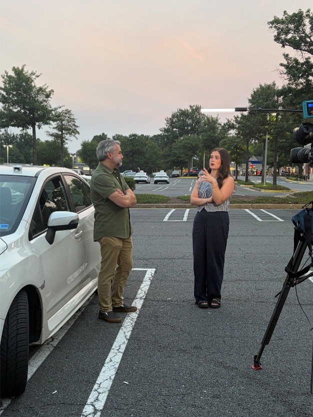
Neighborhoods with fewer trees, more pavement and buildings, and less access to green space can experience higher temperatures than their surrounding neighbors. These “urban heat islands” can increase health-related illness, strain energy systems, and place the greatest burden on residents with the fewest resources to stay safe and cool.
That is why Faith Alliance for Climate Solutions (FACS), in partnership with George Mason University’s Virginia Climate Center, launched the Urban Heat Island Mapping Project, a new environmental justice initiative to map temperature disparities in Northern Virginia. This citizen-science driven project is asking the question: Where are the hottest neighborhoods in our area, who is most affected, and what can be done about it?
On July 16, 2026, one of the hottest days of the year, over 80 volunteers collected weather data throughout the day, using vehicle-mounted weather-tracking devices along pre-assigned routes across Northern Virginia. The majority of the routes were here in Fairfax County.
From this data, researchers can create a detailed picture of how temperatures vary from one neighborhood to another, giving us a much more localized understanding of Northern Virginia’s heat landscape than can be provided by traditional weather stations alone.
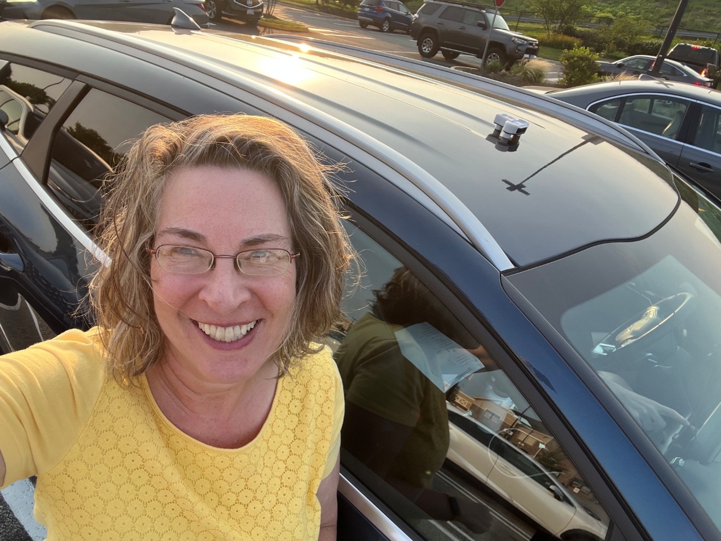
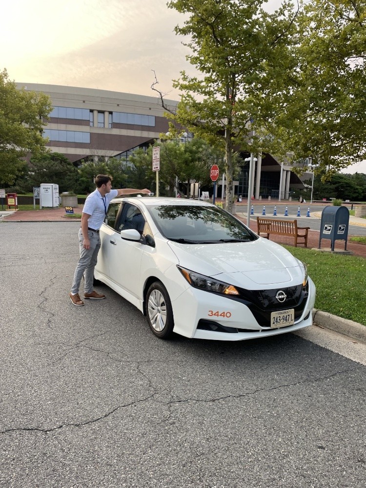
This work also builds on an existing collaboration between FACS and Fairfax County. Through its Resilient Fairfax initiative, the county has developed local heat-island data and identified strategies for reducing heat exposure while protecting residents during extreme heat events. Our project gives us an opportunity to build on that work with new, highly localized data collected across Fairfax County and neighboring jurisdictions. This new data collected by ground-level sensors will supplement the existing Resilient Fairfax urban heat island data, which is based on NASA satellite measurements.
But mapping the heat is only the beginning. Once the results are available, we will have a better idea of where Northern Virginia’s hottest areas are and how factors like tree cover, pavement, buildings, and land use may be contributing to higher temperatures. That information can help inform investments in local resilience strategies, including tree planting, shade structures, parks and green spaces, cooling centers, transportation infrastructure, and building design.
Ultimately, this project is about more than measuring temperature. Good decisions depend on good information, but the real power of that information comes when it leads to action. By combining scientific expertise, local government resources, and the energy of community volunteers, this project can help us better understand how climate change is affecting our communities today by giving local leaders and residents the information they need to make neighborhoods cooler, healthier, and more resilient in the years ahead.

Christopher Topoleski is the Executive Director of the Faith Alliance for Climate Solutions, where he works with faith communities, local governments, businesses, and community partners to advance practical climate solutions throughout Northern Virginia. A nonprofit executive and coalition builder, he has dedicated his career to helping organizations turn ambitious ideas into meaningful action.
Climate Matters is the blog of Fairfax County’s Office of Environmental and Energy Coordination, where we share stories, insights and information related to climate change and environmental sustainability. Posts are written by knowledgeable and passionate OEEC staff members and guest authors. To read all blog posts, visit Climate Matters.