Department of Emergency Management and Security

CONTACT INFORMATION: Open during regular business hours 8 a.m. - 4:30p.m., Monday - Friday
4890 Alliance Drive, Suite 2200, Fairfax, VA 22030
Seamus Mooney
Coordinator

Hurricanes/Tropical Storms

What It Is

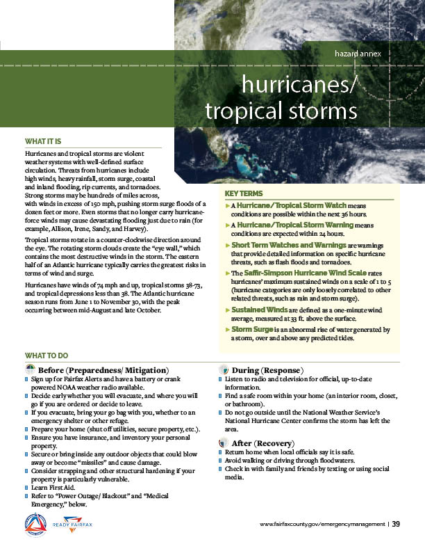
Hurricanes and tropical storms are violent weather systems with well-defined surface circulation. Threats from hurricanes include high winds, heavy rainfall, storm surge, coastal and inland flooding, rip currents, and tornadoes. Strom storms may be hundreds of miles across, with winds in excess of 150 mph, pushing storm surge floods of a dozen feet or more. Even storms that no longer carry hurricane-force winds may be cause devastating flooding just due to rain (for example, Allison, Irene, Sandy, and Harvey).

Tropical storms rotate in a counter-clockwise direction around the eye. The rotating storm clouds create the "eye-wall," which contains the most destructive winds in the storm. The eastern half of an Atlantic hurricane typically carries the greatest risks in terms of wind and surge.

Hurricanes have winds of 74 mph and up, tropical storms 38-73, and tropical depressions less than 38. The Atlantic hurricane season runs from June 1 to November 30, with the peak occurring between mid-August and late October.

Hurricane/Tropical Storm Hazard Annex


Hurricane/Tropical Storm Hazard Annex

Click on the appropriate link below to download a PDF copy of the Hurricane/Tropical Storm Hazard Annex page from the Community Emergency Response Guide.

English (PDF) | Spanish (PDF) | Korean (PDF) | Arabic (PDF) | Mandarin (PDF) | Vietnamese (PDF)

Key Terms

  • Hurricane/Tropical Storm Watch means conditions are possible within the next 36 hours.
  • A Hurricane/Tropical Storm Warning means conditions are expected within 24 hours.
  • Short Term Watches and Warnings are warnings that provide detailed information on specific hurricane threats, such as flash floods and tornadoes.
  • The Saffir-Simpson Hurricane Wind Scale rates hurricanes' maximum sustained winds on a scale of 1 to 5 (hurricane categories are only loosely correlated to other related threats, such as rain and storm surge).
  • Sustained Winds are defined as a one-minute wind average, measured at 33 ft. above the surface.
  • Storm Surge is an abnormal rise of water generated by a storm, over and above predicted tides.

What To Do

  • Sign up for Fairfax Alerts and have a battery or crank powered NOAA weather radio available.
  • Decide early whether you will evacuate, and where you will go if you are ordered or decide to leave.
  • If you evacuate, bring your go bag with you, whether to an emergency shelter or other refuge.
  • Prepare your home (shut off utilities, secure property, etc.).
  • Ensure you have insurance, and inventory your personal property.
  • Secure or bring inside any outdoor objects that could blow away or become "missiles" and cause damage.
  • Consider strapping and other structural hardening if your property is particularly vulnerable.
  • Learn First Aid.
  • Refer to "Power Outage/blackout" and "Medical Emergency" hazard pages.

  • Listen to radio and television for official, up-to-date information.
  • Find a safe room within your home (an interior room, closet, or bathroom).
  • Do not go outside until the National Weather Service's National Hurricane Center confirms the storm has left the area.

  • Return home when local officals say it is safe.
  • Avoid walking or driving through floodwaters.
  • Check in with family and friends by texting or using social media.
Fairfax Virtual Assistant