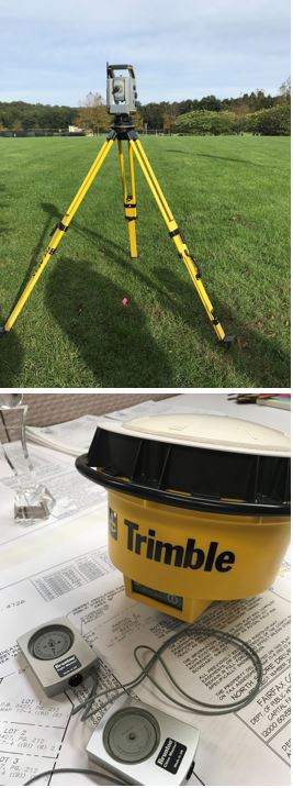
 Land Survey Branch (LSB) provides professional land surveying services for county agencies for various needs and interests. Staff are licensed Land Surveyors who provide a depth of experience and knowledge. The code of Virginia states a “Land surveyor" means a person who, by reason of his knowledge of the several sciences and of the principles of land surveying, and of the planning and design of land developments acquired by practical experience and formal education, is qualified to engage in the practice of land surveying, and whose competence has been attested by the Board through licensure as a land surveyor.”
LSB provides internal clients with surveys for real estate transactions, design, and construction projects, particularly those in the Capital Improvements Program (CIP), Developer Default Program, and supporting enforcement and litigation, Geographic Information System (GIS), the Secondary Control Network of monuments across the county, and GPS on Benchmarks in preparation for the 2022 Datum changes.
LSB’s work comes from internal county clients: FCDOT, STW, MSMD, SWM, WWCD, FMD, CAP, LDS, FCPD, OCA, and Zoning. Along with the pre-design or existing condition, platting, construction, and as-built surveys supporting the CIP, surveys are conducted to answer questions such as, “Whose tree is it?” or “On which property does blank lie?” blank may be a fence, tree, bridge abutment, trail, dilapidated stairs, sewer, abandoned refrigerator, etc. LSB surveys for Department of Tax Administration (DTA) for rare escheat sales, locates gas wells and other features at the I-66 Transfer Station and I-95 Complex supporting environmental permitting, and writes metes and bounds descriptions, sometimes called “legal descriptions” for parcels affected by acquisitions in our CIP projects.
Note: Our services are exclusively provided for Fairfax County Agencies.
Nearly all that LSB does is in support of the county’s economic growth and environmental concerns. LSB supports LDS in Buildable Lot Determinations with research and reporting on the subdivision status of the subject lot facilitating future development.
A lesser-known role of the county surveyor is surveying the plots on the indigent cemetery to lay out the grave plots, so a burial is in a known and ordered location. Probably the least known function is conducting the “LiDAR Baseline Certifications”. Law enforcement officers must calibrate their equipment regularly to capture accurate readings of the speed a car travels. We survey and publish professional certifications of these baselines for the Fairfax County Police Department at each station twice yearly. Our certification on the distance of the calibration baselines is used as supporting information in court when violations are docketed.
LSB advises on regulatory, and process matters in Land Development Services (LDS), land use cases in the Office of the County Attorney (OCA), and zoning questions. The Land Survey Branch has a strong partnership with Mapping/GIS. Our ground survey work supported the acquisition of the aerial imagery for years and continues to support the users’ experience by contributing survey quality data to the GIS dataset.
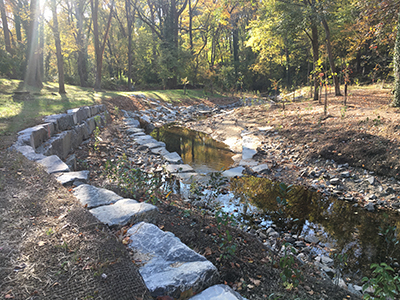


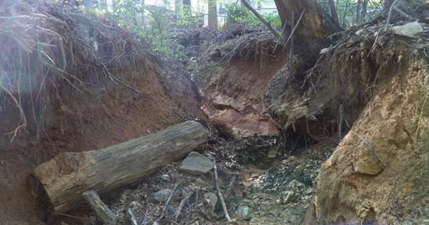
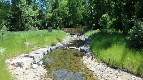
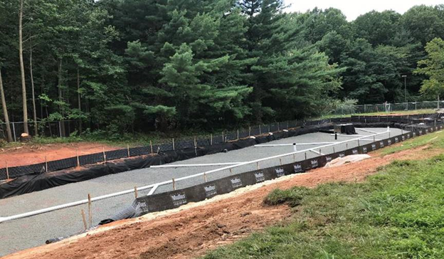
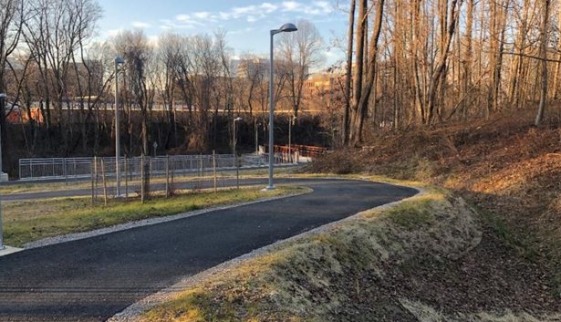
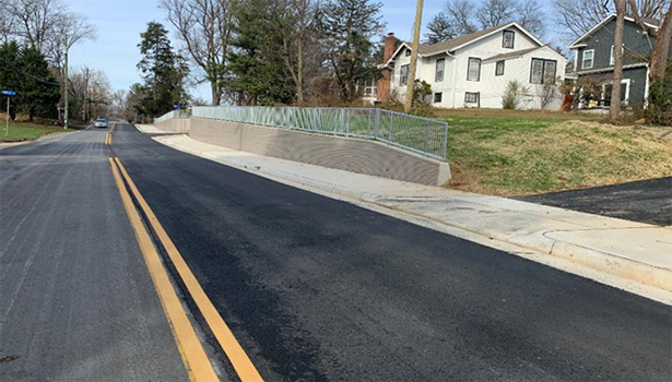
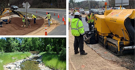 The Utilities Design and Construction Division Inspection Branch comprises the Department of Environmental Quality (DEQ)- and Virginia Department of Transportation (VDOT)-certified inspectors and construction managers. The Inspection Branch plays a vital role in performing quality control inspections on county Capital Improvement Projects (CIP) that are mostly linear in scope. Typical projects include stormwater, stream stabilization, and transportation improvement projects. The inspections are enforcement and compliance of complex and specialized construction codes and contract document requirements on our construction projects.
 Land Survey Branch (LSB) provides professional land surveying services for county agencies for various needs and interests. Staff are licensed Land Surveyors who provide a depth of experience and knowledge. The code of Virginia states a “Land surveyor" means a person who, by reason of his knowledge of the several sciences and of the principles of land surveying, and of the planning and design of land developments acquired by practical experience and formal education, is qualified to engage in the practice of land surveying, and whose competence has been attested by the Board through licensure as a land surveyor.”