Public Works and Environmental Services
Department Resources
Related Resources
FEMA Map Change Information and Public Meetings
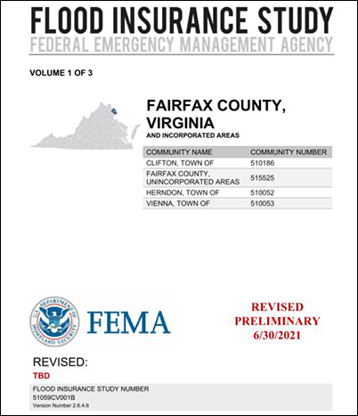 The Federal Emergency Management Agency (FEMA) has completed a multi-year project to re-examine Fairfax County’s flood zones and produce detailed digital flood hazard maps. In some cases, the existing flood zone boundaries have been modified. The preliminary updated Flood Insurance Rate Maps (FIRMs), which reflect the flood risk based on the latest data, have been released for public review. As a result, property owners throughout the County will have up-to-date, internet-accessible information about flood risk to their properties.
Status Update: September 2026
In May 2026, Fairfax County met with FEMA consultants to discuss an appeal regarding the revised Preliminary FIRM panels for a portion of Tripps Run. On September 25, 2026, FEMA issued a resolution letter, initiating a 30-day comment period. If no comments are received during this period, the appeal will be considered final. Following this, FEMA will issue a Letter of Final Determination (LFD), after which the County will have six months to adopt the study. The status of FIRM projects in Region 3 is available online at FEMA Region 3 FIRM Active Projects.