Take action to learn about flood risk, the availability of flood insurance, flood protection methods, and how to prepare for emergencies.

Take action to learn about flood risk, the availability of flood insurance, flood protection methods, and how to prepare for emergencies.
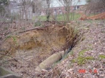
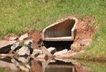
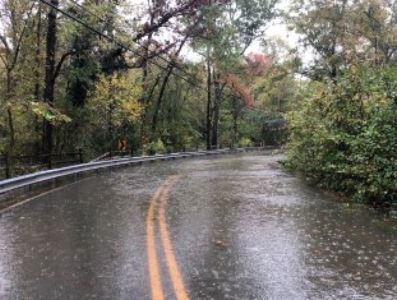
The County cannot eliminate flooding, but it can reduce the risk to life and property. We are working extensively to mitigate flooding through:
Learn more about the County’s comprehensive flood mitigation program:
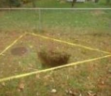
A floodplain is any land area susceptible to being inundated (under water) by floodwaters from any source. Floodplains are beneficial because they provide natural storage for the excess water and nutrients.
There are three kinds of floodplains in Fairfax County:
For more information, visit Zoning Ordinance, Article 9 Section 9104, Floodplain Definitions.
Fairfax County Zoning Ordinance, Article 5 Section 5105 regulates activities in a floodplain. These activities may require approval by Land Development Services, or a Special Exception approved by the Board of Supervisors. For more information, visit:
The Community Rating System is a voluntary program for recognizing and encouraging community floodplain management activities that exceed the minimum standards set up for the National Flood Insurance Program. The program does this by adjusting flood insurance rates to reflect the reduced flood risks that are a result of community activities that reduce flood losses, facilitate accurate insurance ratings and promote awareness of flood insurance.
Fairfax County has participated in the program since 1993 and is one of five Class 6 jurisdictions in the Commonwealth of Virginia. A Class 6 CRS rating community under Risk Rating (RR) 2.0 allows property owners in the County to obtain a 20% reduction in flood insurance premiums. RR 2.0 rating methodology incorporates a wide range of rating variables; however, flood zone and Base Flood Elevations are no longer used. So, the reduction applies to all policies irrespective of whether the property is located within the Special Flood Hazard Area or outside. A policy in Zone X receives the same discount as a policy in Zone AE.
There are a number of large dams in Fairfax County; some are privately owned, and others are owned or maintained by the county or other public entities. There are many small, man-made ponds or impoundments, some of which include dams as part of the structure.
Any development proposed within the mapped dam break inundation zones of state regulated dams must be identified on all preliminary plats, subdivision plans, site plans and minor site plan submissions. More information, including maps, can be found in the Development in Dam Break Inundation Zones website.

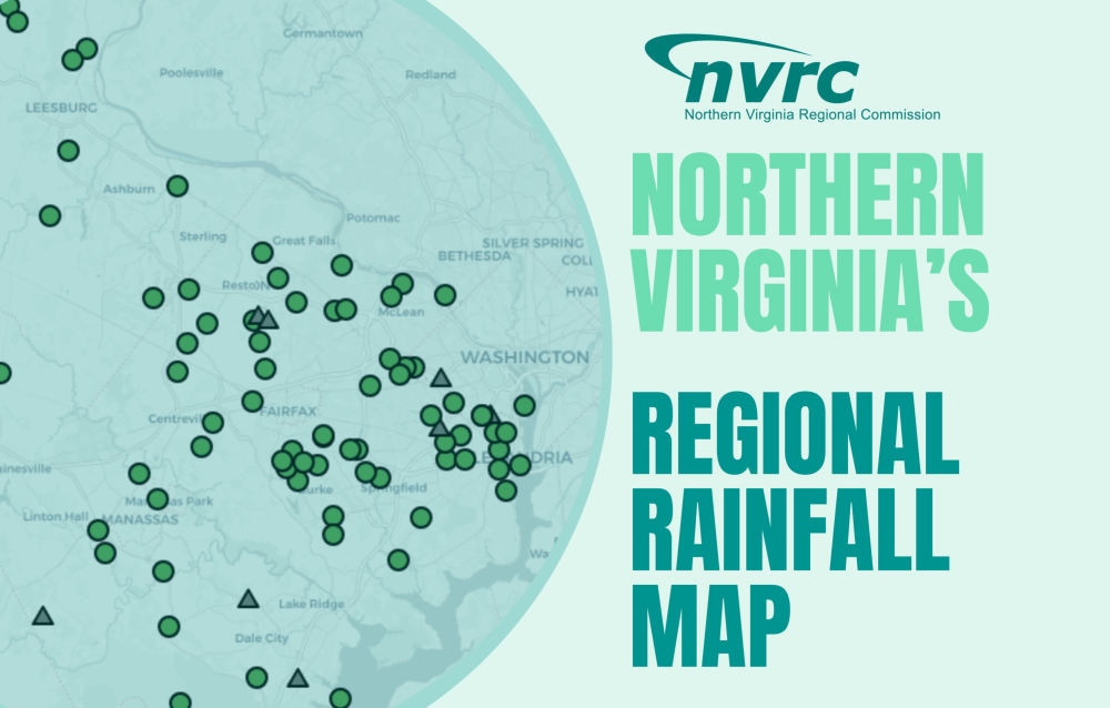
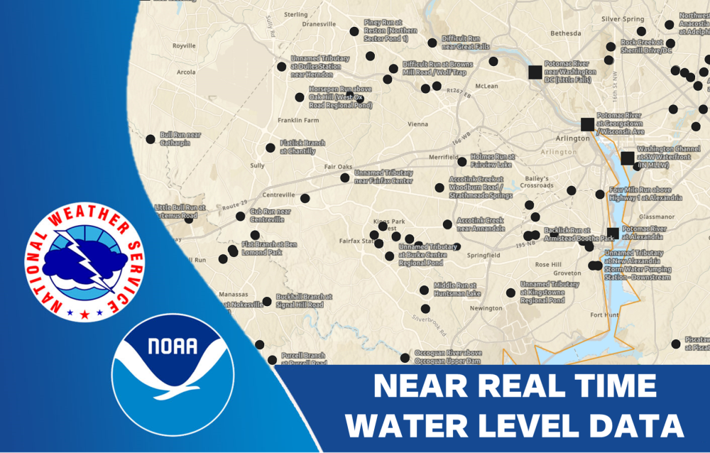
Fairfax County’s Automated Flood Warning System sensors are located throughout the county and the data is publicly available.