

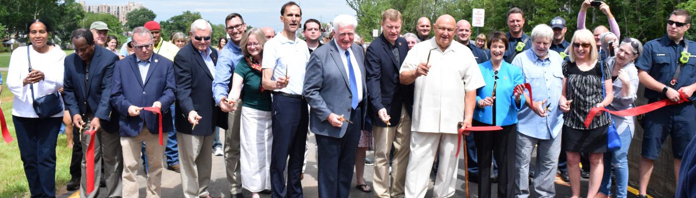
In 2019, Fairfax County completed the Huntington levee and pumping station to protect homes and other property in the Huntington neighborhood from flooding. Voters approved a $30 million stormwater bond in November 2012 to fund the construction of the levee and pumping station. This complicated project required review by local, state, and federal agencies.
Park
The Huntington Park and Farrington Park playgrounds were included in the project and residents now have approximately 4,800 linear feet of recreational trails along the top of the levee and around the ponding area.
Contact Information
For rising water that threatens your safety, call 9-1-1. To report storm flooding during regular business hours (Monday-Friday, 7:30 a.m. to 4 p.m.), call 703-877-2800, TTY 711. For after-hours storm flooding emergencies that are not life threatening, call 703-323-1211, TTY 703-239-8498, and state that you are reporting a storm sewer emergency. For sanitary sewer flooding, call 703-323-1211, TTY 703-239-8498. Report suspicious activities to the public safety non-emergency line at 703-691-2131, TTY 703-204-2264.
Project Need
Prior to the project, the Huntington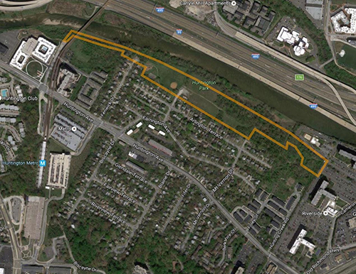 community flooded due to tidal surges from the Potomac River and flash flooding from the Cameron Run Watershed. The community was built prior to enactment of the current floodplain regulations. Since 2002, three floods had damaged vehicles and other property in this neighborhood. There are 160 homes in the then FEMA-designated floodplain that were at risk. The area is now a FEMA-designated reduced floodplain area as a result of the levee. While the levee is preventing flooding of houses from the types of storms that have happened in the past, it is not designed to offer protection from flooding that is caused by storms that are greater than a 100-year event (a storm that has a one percent chance of occurring in a given year).
Project Description
The levee runs parallel to Cameron Run. The purpose of a constructed levee is to minimize flooding, however street flooding may still occur during extreme events.
The design prepared by ARCADIS includes: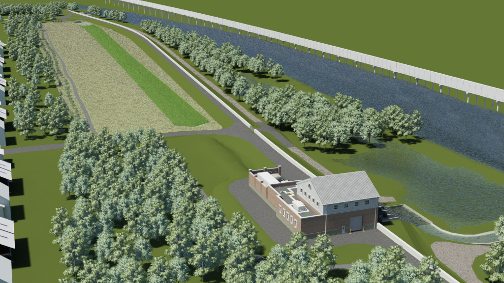
- Levee - Earthen embankment and I-wall combination
- 2,800 feet long (beginning west of Fenwick Drive and running eastward to the Riverside apartments)
- 6 to 11-foot high earthen embankment (height is dependent upon the elevation of the existing ground along the alignment of the levee)
- 4-foot high concrete I-wall on top of the earthen embankment
- 13 feet wide at the top of the embankment including an 8-foot wide asphalt trail
- Average of 43 to 68 feet wide at the base, dependent upon the height of the levee
- Buried collection drain along the toe of the levee to control ground water seepage
- New storm drains to connect existing storm drains to the pump station
- Concrete box culverts and a vegetated swale will divert stormwater from the to the pumping station during large storm events
- Pumping station facility, located near the east end of the levee
Project Complexities
The levee design has been a complex process that required:
- Permits from local, state and federal agencies (all permit requirements have been met)
- Environmental and other reviews by state and federal agencies
- Construction in a wetlands, which is regulated by state and federal agencies
- Acquisition of land and easements
- Relocation of existing utilities