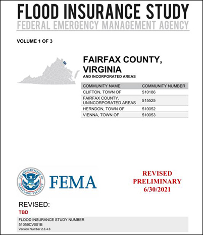
The Federal Emergency Management Agency (FEMA) has completed a multi-year project to re-examine Fairfax County’s flood zones and produce detailed digital flood hazard maps. In some cases, the existing flood zone boundaries have been modified. The preliminary updated Flood Insurance Rate Maps (FIRMs), which reflect the flood risk based on the latest data, have been released for public review. As a result, property owners throughout the County will have up-to-date, internet-accessible information about flood risk to their properties.
Status Update: June 2026
In May 2026, the County met with FEMA consultants to discuss appeal of the revised Preliminary FIRM panels for part of the Tripps Run. FEMA is expected to send a resolution letter by Fall 2026, followed by a 30-day comment period. Afterward, FEMA will issue a Letter of Final Determination (LFD), and the County will have six months to adopt the study. Fairfax County is in FEMA Region 3. The status of FIRM projects in Region 3 is available online at FEMA Region 3 FIRM Active Projects.
The County notified the owners of all structures where the flood risk will change (either increase or decrease) based on the preliminary FIRMs. The County held a series of virtual public meetings (via Zoom) to provide more information on the proposed changes and respond to questions from residents. The meetings were grouped by designated county watersheds. If you are unsure which watershed your property is in, please see Find Your Watershed to find your location. Registration was required to attend the public meetings. Residents were encouraged to register for the meeting corresponding to the watershed for the property of concern. Each meeting lasted 1.5 hours, with a 45- minute presentation followed by 45 minutes Q&A.
Meeting #1
Date
Tuesday, January 11, 2022
Time
7 p.m. to 8:30 p.m.
Watersheds
Bull Neck Run, Dead Run, Difficult Run, Nichol Run, Horsepen Creek, Pimmit Run, Pond Branch, Scotts Run, Sugarland Run and Turkey Run
Accotink Creek, Bull Run, Cub Run, High Point, Johnny Moore Creek, Kane Creek, Little Rocky Run, Mill Branch, Occoquan, Old Mill Branch, Pohick Creek, Pope Head Creek, Ryans Dam, Sandy Run and Wolf Run
Mailing Address:
Attn: FEMA Map Change
Stormwater Planning Division
Department of Public Works and Environmental Services
12000 Government Center Parkway, Suite 449
Fairfax, VA 22035-0052
More Information
Please note the updated maps are still in preliminary stage, and may change when the final maps are issued. If the structure on your property is in the Special Flood Hazard Area (SFHA) shown on the final FIRMs and if it has a federally backed mortgage, you will be subject to mandatory flood insurance purchase requirements.
FEMA initiated their 1st appeal process on April 22, 2022. The County evaluated all comments and appeals that were received using existing information and conducted additional field investigations and surveys. Where warranted, additional analyses were completed to provide supporting technical information for appeals. All valid appeals were compiled and submitted to FEMA on July 22, 2022. The appeal period is now closed.
FEMA issued a revised preliminary FIRM with a 30-day comment period on August 30, 2024. FEMA expects to open the 2nd 90-day appeal period sometime in January 2025. FEMA has not committed to a date for the Letter of Final Determination (LFD), but the County expects to receive the LFD sometime in latter half of 2025. The County will adopt the revised FIRM within six months of receiving the LFD. For any questions related to the revised preliminary submission, please email femachange@fairfaxcounty.gov.

 The Federal Emergency Management Agency (FEMA) has completed a multi-year project to re-examine Fairfax County’s flood zones and produce detailed digital flood hazard maps. In some cases, the existing flood zone boundaries have been modified. The preliminary updated Flood Insurance Rate Maps (FIRMs), which reflect the flood risk based on the latest data, have been released for public review. As a result, property owners throughout the County will have up-to-date, internet-accessible information about flood risk to their properties.