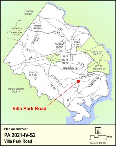
Villa Park Road
2016 Proffer Reform Bill - Non Exempt Area
Adopted On:
July 25, 2023
PLUS Record Number:
PA-2021-00013
Tax Map Parcel:
90-2 ((4)) 19 and 20
Supervisor District:
Franconia
Planning District:
Springfield
On March 23, 2021, the Board of Supervisors authorized the consideration of a Comprehensive Plan amendment for Villa Park Road (Tax Map Parcel 90-2 ((4)) 19 and 20) in the Franconia Supervisor District. The property is generally located north of Franconia Springfield Parkway, south of Villa Park Road, and west of Backlick Road. The adopted Plan for this area recommends 4-5 dwelling units per acre, within the Springvale Community Planning Sector in the Springfield Planning District of the Area IV volume of the Comprehensive Plan. The Board requested that staff consider an option for residential use up to a density of 8.5 dwelling units per acre (up to 49 dwelling units) for the subject property. A concurrent rezoning has been filed, RZ 2021-LE-00019, Towns at Villa Park.
Click on the map (above) for a detailed enlargement of the area.


