This newsletter includes important flood protection related information including flood safety, floodproofing, permit requirement, drainage service requests, special flood hazard areas, emergency alert systems, natural floodplain functions, and flood insurance.
Your property is In or Near a Floodplain.
What is a Floodplain?
A floodplain is a generally flat or low-lying area of land adjacent to a river, stream, lake, or ocean that periodically floods.
For regulatory purposes, in Fairfax County, floodplain means those land areas in and adjacent to streams and watercourses subject to continuous or periodic inundation from flood events with a 1 percent chance of occurrence in any given year (i.e., the 100-year flood frequency event) and having a drainage area greater than 70 acres. The floodplains that have drainage area greater than 70 acres but less than 360 acres are defined as “Minor Floodplains,” and that have a drainage area equal to or greater than 360 acres are as “Major Floodplains.”
The Federal Emergency Management Agency (FEMA) defines floodplain i.e., Special Flood Hazardous Areas (SFHAs) as land areas that are at high risk for flooding. These areas are indicated on Flood Insurance Rate Maps (FIRMs) and on Digital Flood Insurance Rate Maps (DFIRMs).
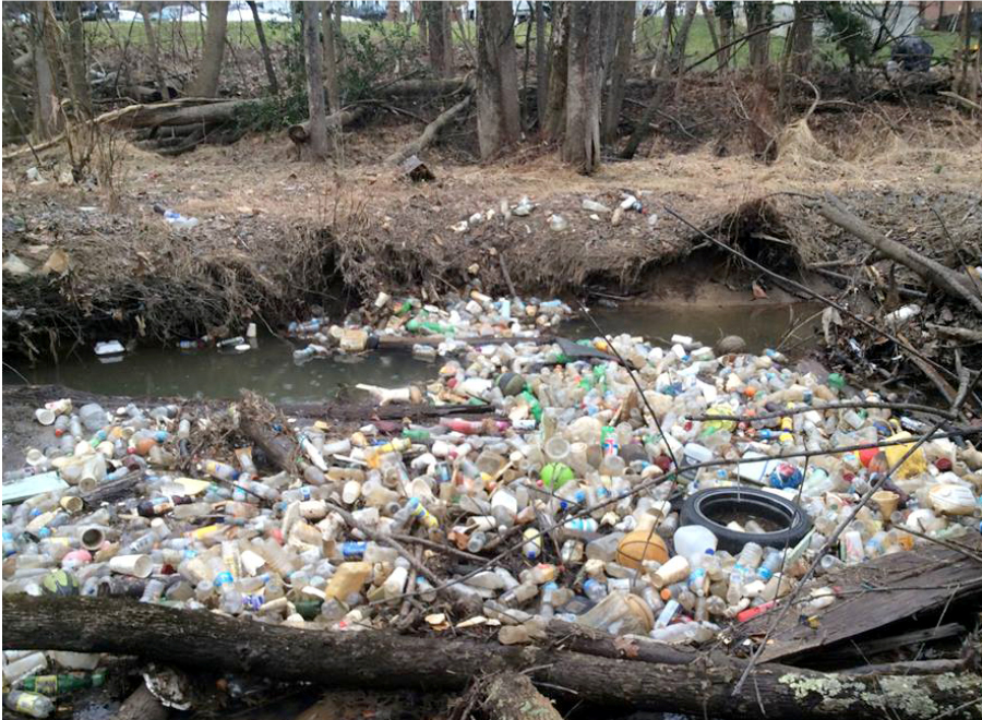
Anywhere it can rain, it can flood! Even outside of floodplains!
- Flooding can occur during any storm event
- Fairfax County is taking steps to mitigate flooding
- You should take steps to protect yourself and property.
Fairfax County participates in the National Flood Insurance Program (NFIP) Community Rating System (CRS) sponsored by FEMA since 1993. Participation in the CRS is a service for county residents and provides an opportunity for property owners to purchase flood insurance for their buildings and contents at discounted rates.
For information on floodplain locations, visit:
- Flood Risk Awareness Tool
- Virginia Flood Risk Information System at VFRIS
- FEMA’s Flood Map Service Center at FEMA Flood Map Service Center | Welcome!