

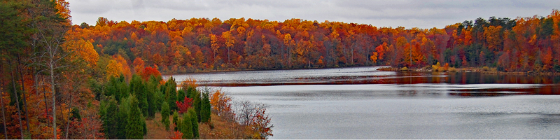
Some Fairfax County Park Authority parks have lakes. Several dams were built for flood control, most of them in the Pohick Creek watershed, between 1970 and 1985. The Park Authority does not own all of the Pohick watershed lakes, and Lakes Barton and Braddock are privately owned. The dams have helped mitigate downstream flood damage and have improved water quality, wildlife habitat, and recreation.
Many of the lakes are surrounded by woods and offer good hiking. Most of the Pohick Watershed lakes are fishable. Generally, they hold a standard mix of bass, sunfish, crappie, carp and catfish and are average fisheries. They occasionally produce large catfish and good-sized largemouth bass, and they can be good places to dangle worms for small bluegill. Housing backs up to them in several places, so be sure to stay on public land.
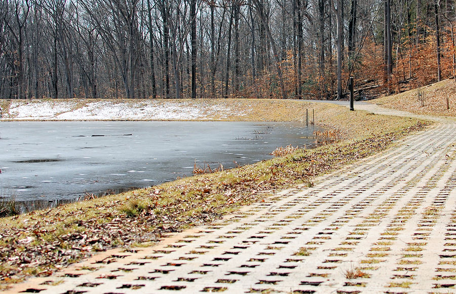
Hiking paths encircle some lakes. Generally, the waters are easily reachable. Shoreline access may be limited in summer by flora. Small craft, like canoes, are legal, but gas motors are not.
In May 2015, Fairfax County, the Northern Virginia Soil and Water Conservation District, and USDA's Natural Resources Conservation Service celebrated the completion of four joint dam rehabilitation projects in the Pohick Creek Watershed. (Photos on Flickr) The project at Royal Lake was completed in 2009, Woodglen Lake in 2010, Lake Barton in 2011, and Huntsman Lake in 2014. Huntsman was dredged in 2014 and Woodglen was dredged in 2015. These flood control dams in the 23,000-acre Pohick Creek Watershed were upgraded to meet Virginia Dam Safety standards to protect people and property downstream. The lakes trap sediment and likely will need dredging about every seven to ten years. Because of the rehabilitation project, future dredging will require only a partial drawdown instead of complete draining of the lakes.
Learn more about the Dredging Project:
- Newsletter
- Slideshow
 Brookfield Pond
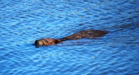 Huntsman Lake
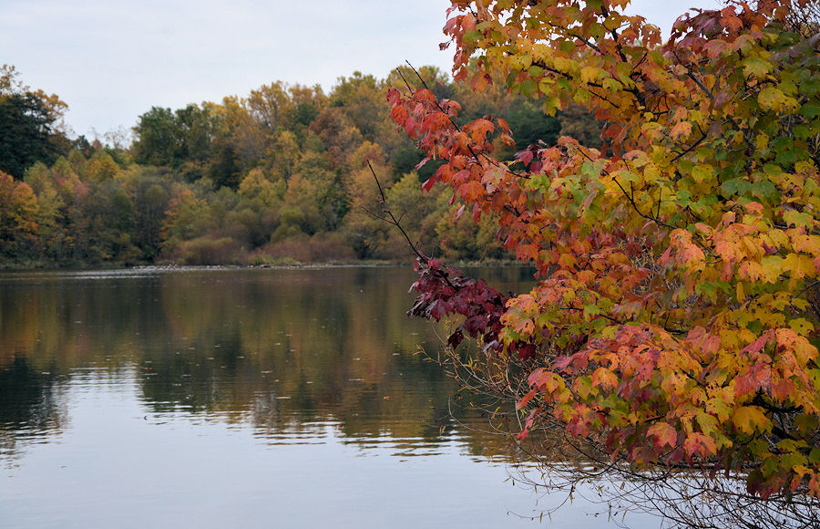 Lake Mercer
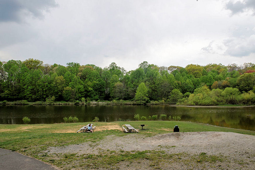 Royal Lake
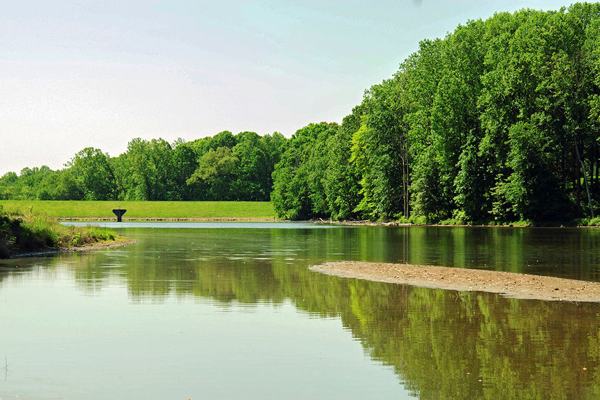 Woodglen Lake